Last Updated:



Have you ever wondered while looking at the road traffic on Google Map that how does it know whether the vehicles are moving fast on a road or are stuck in a jam? Actually, the location and movement signals received from the mobile phones of people walking on the road play a big role in this. Google estimates the average road speed by combining data from many people and then provides road conditions based on past traffic patterns, live signals and information from traffic authorities.
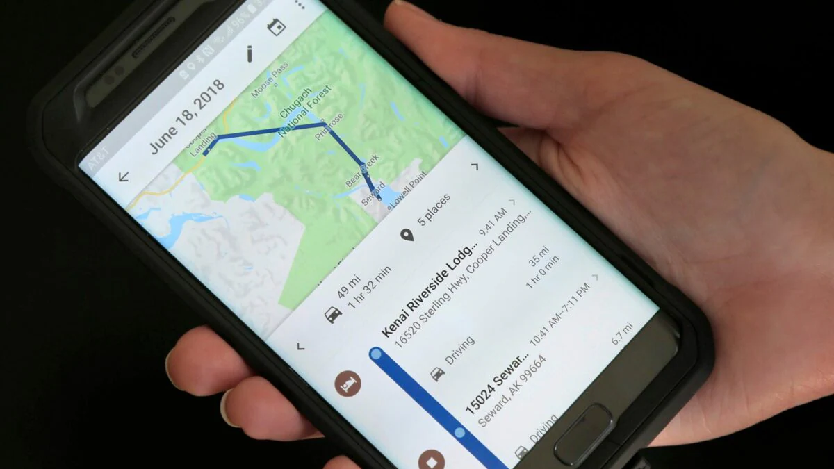
Google does not make predictions based on live data alone. (File photo)
New Delhi. If you use Google Maps daily, you must have noticed that the traffic situation on the road keeps changing continuously. If the road appears green somewhere, it usually means that the traffic is normal. If yellow or red color starts appearing somewhere then it is understood that the speed of the vehicles is low. But the question is, from where does Google get this information? Actually, the mobile phone in your hand plays a big role behind this. By combining the location and movement signals received from the phones of people walking on the road, Google estimates how fast people are moving on a road. This helps him to understand the traffic situation.
Suppose vehicles generally move at a speed of about 50 kilometers per hour on a road. But at that time the mobile location signals available in that area are moving at a very low speed. This indicates to Google that the traffic on that road is slow. This means that it is not necessary for Google to get separate live tracks of every vehicle. By looking at the signals received from several mobile phones simultaneously, he can estimate the condition of the entire road.
Old data also tells where traffic jams occur
Traffic is not predicted based on live data alone. Google also looks at old traffic patterns. Like how much crowd there is usually on a road during office hours on Monday morning or how much the speed of vehicles reduces there in the evening. By combining this old pattern and current signals, Google also estimates how much time it may take for you to reach your destination.
How accurate will the estimate be if live data is not available?
If Google doesn’t get enough live location signals from vehicles and people on a road, it becomes difficult to make real-time estimates of traffic. In such a situation, Google can use old traffic patterns, other available live signals and information received from traffic authorities. Information about an accident, road closure, construction work or any other incident can also change the traffic estimate. According to Google, real time information received from traffic police and people is also used in this.
That means the traffic colors of Google Map are not magic. Behind this, an estimate prepared by combining crores of mobile signals, old traffic patterns and information received from different sources works. Therefore, if the live data on a road becomes too low or there is a major change in the available signal, the map may have difficulty understanding the true traffic situation.
About the Author

Sushant Sinha has more than 20 years of experience. Sushant has great experience of working in big news networks like Times Network, NDTV, News24 and India TV. He played important editorial and on-air anchoring roles in his career.
read more